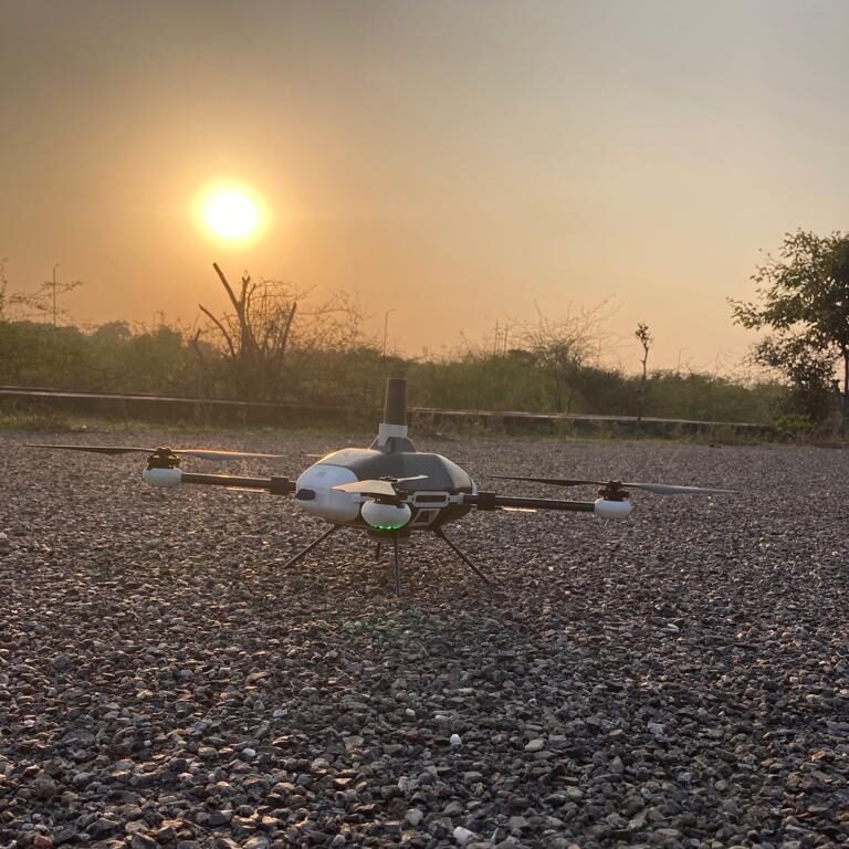
Unmanned Aerial Vehicles is a class of aircrafts that can fly without the onboard presence of pilots. They can be handled remotely with a controller or tablet (Drones) or operate autonomously. They are equipped with different state of the art technology such as infrared cameras, GPS and laser with remote ground control systems (GSC).
Impact of commercial drone — drones made for specific types of jobs both corporate and consumer applications — on country’s GDP is increasing. It is among the fastest-growing market in the world and according to a Business Today Report India’s UAV market will be worth $1.81 billion (or Rs 13,575 crore) by FY26, while the Drone Federation of India estimates the industry to touch Rs 50,000 crore in the next five years.
Due to limitations on economic front in surveillance, difficulty in operating in narrow and confined spaces, traveling long distances manually. Unmanned aerial vehicles are finding application in various sectors as payload delivery, traffic monitoring, surveillance and in sectors like Agriculture, Industrial, Environmental, Public and Private agencies.
Aerosys Aviation India, a startup is working on developing drones for various applications. The company is using Design Thinking, creativity, Innovation and Analytical Approach to solve complex problems.
Some of the solutions they provide are:
Land surveying: Survey drones generate high-resolution orthomosaic—large, map-quality image with high detail and resolution made by combining many smaller images— and detailed 3D models of areas where low-quality, outdated or even no data, are available.
Surveillance: UAVs equipped with an RGB camera allow them to provide imagery of different Areas. Drones can cover large areas with minimal time or period of non reachable areas with low risk and cost effectiveness. Surveillance is the observation of a person, crowded areas, infrastructure, behaviour, activities, building etc for the protecting and managing purpose.
Agriculture: Detection of issues like disease, water stress, pest infestation, nutrient deficiencies, and more. The specific filters on multispectral cameras highlight changes in chlorophyll content in plants, which is oftentimes an indicator of disease or stress.
Apart from this the company is also working on providing solutions for Border Security, Forest and Wildlife Monitoring, Infrastructure inspection in Railways, Mining, and Oil and Gas Industry.
One of their better known drones is “Vedansh UAV”, a Micro category class Quadcopter Drone, made exclusively for Surveying & Mapping purpose. It uses a dual battery pack technology for greater endurance during the flight. It is built of Carbon composite material keeping its weight factor in consideration. It has integrated in it for Superior mapping accuracy with indigenous dual-frequency RTK/PPK system (a GPS correction technology).
Overall it can be stated that Drones lead to reduction in field crews and decrease risk with highly detailed data. Increased revenue, investment through additional analysis of value-added products, made possible from high-resolution imagery. Key Customers include Governments, Companies working on Agriculture, Construction, Surveillance,Traffic Management etc.


