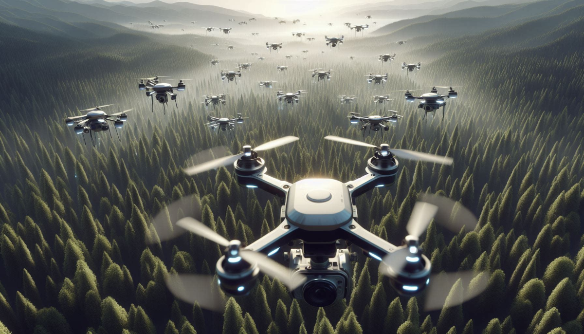
Drone mapping has evolved as a revolutionary technology that is quickly gaining hold in a variety of sectors because of its adaptability, speed, and cost-effectiveness. This technology is revolutionising the way we scan, monitor, and analyse our surroundings using unmanned aerial vehicles (UAVs) equipped with specialised cameras to capture a series of high-resolution photographs or aerial data which are then processed using powerful photogrammetry software to produce comprehensive maps, 3D models, and immersive visualizations.
The Process:
The process starts with the drone taking a series of high-resolution photographs as it flies over the region of interest, according to particular flight patterns to ensure complete coverage. These photographs are then seamlessly stitched together using powerful photogrammetry software to produce comprehensive maps, 3D models, and immersive visualisations. The result is an orthomosaic, which merges aerial pictures into a georeferenced and scaled depiction of the region. This orthomosaic is a strong tool for exact measurements of position, distance, and area, making it useful for a variety of applications. Furthermore, the acquired data may be converted into extremely detailed 3D models, enabling unparalleled spatial awareness and analysis.
Ensuring the veracity of drone mapping data is critical. Drones must fly in specified patterns and acquire photographs with enough overlap and sidelap to allow for flawless stitching. Geotagging collected photos with exact location data is critical for effective georeferencing. To improve positional accuracy, ground control points (GCPs) or sophisticated positioning systems such as Post-Processed Kinematics (PPK) or Real-Time Kinematics (RTK) are used, which provide centimeter-level precision.
Applications:
Drone mapping offers a wide range of applications in many industries, including construction, mining, agriculture, conservation, and real estate.
Drone mapping is used in construction to monitor the site, track progress, and take exact measurements. It enables the production of precise 3D models and maps of the building site, which can be used to track progress, detect possible problems, and guarantee that the project remains on schedule. Drone mapping may also be used to compute the volume of commodities on-site, such as stockpiles, and to monitor changes in volume over time.
Drone mapping is used in mining and aggregates to conduct topographical surveys and stockpile measurements. It gives exact measures of stockpile amount and composition, allowing mining firms to optimise operations and decrease costs. Drone mapping may also be used to build comprehensive 3D models of mining sites, allowing for better operation planning and management.
In agriculture, drone mapping is used to track crop health, estimate yields, and deploy precision farming techniques. It can provide precise maps of crop health, allowing you to spot problem regions and optimise the usage of fertilisers and other inputs. Drone mapping may also be used to assess yields and optimise irrigation and harvesting operations.
Conservationists utilise drone mapping to watch wildlife movements, map ecosystems, and identify areas that need to be preserved and restored. Drones can give a bird’s-eye perspective of the region, enabling a thorough grasp of the topography and associated safety issues. This makes them an excellent choice for mapping in difficult-to-reach places, dangerous situations, and other demanding locations.
In real estate, drone mapping is used to produce comprehensive maps and 3D models of properties that may be used to showcase the land’s distinctive features. It can give potential purchasers a bird’s eye view of the property, helping them to better grasp the layout and qualities of the land. Drone mapping may also be used to generate orthomosaic maps, which can be used to accurately quantify distance and surface area.
Benefits:
Drone mapping may be used in a variety of sectors to create precise maps and 3D models of places, track progress, optimise operations, and make informed decisions. It has several benefits over traditional mapping methods. It is extremely efficient, allowing for quick data collection while reducing the need for lengthy ground surveys. The speed with which drones can cover broad regions is unrivalled, making them perfect for time-critical missions. Perhaps most crucially, drone mapping provides unparalleled precision, giving precise and dependable data that may drive vital decision-making processes across a wide range of businesses.
To discover how drone photogrammetry can revolutionize your operations, streamline workflows, and drive efficiency, contact us today. Let’s embark on a journey of aerial precision and unlock new horizons for your organization. Write to us at open-innovator@quotients.com