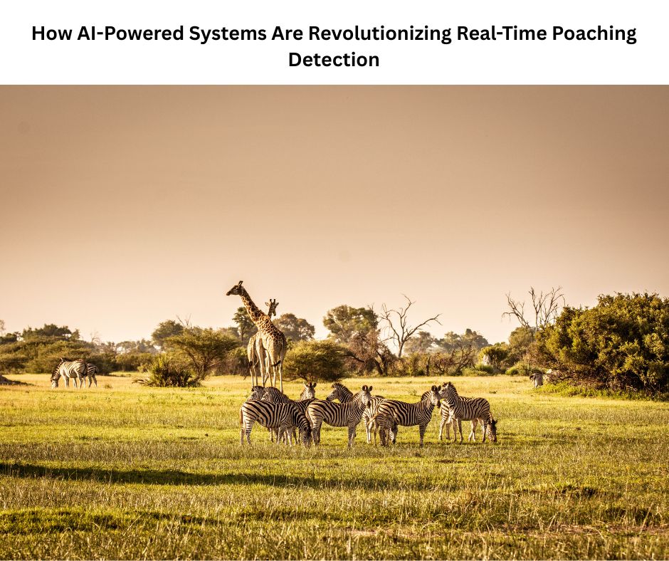
Globally, wildlife poaching still poses a threat to endangered species, and conventional conservation strategies are unable to keep up with the sophistication of criminal networks. Although useful, manual patrol systems are inherently limited in their ability to cover large protected regions, which can cover hundreds of square kilometers.
Artificial intelligence systems that can continually monitor large regions, identify suspicious activity in real-time, and instantly inform law enforcement officers are a solution provided by modern technology, radically changing the way we safeguard endangered wildlife.
Satellite Intelligence and Predictive Analytics
Next-generation poaching prevention systems are powered by extensive threat assessment databases created by combining ground-level data collection with advanced satellite imaging. In order to forecast the most likely locations for illicit activity, these AI-driven platforms examine patterns in a variety of data sources, such as past poaching occurrences, animal migration routes, topographical factors, and seasonal variations.
Large volumes of geospatial data are processed by machine learning algorithms to remarkably accurately identify abnormalities and high-risk areas. By placing patrols in regions where poaching dangers are greatest, conservation managers can more efficiently deploy scarce resources thanks to the predictive capability. By enabling authorities to stop poachers before they attack rather than looking into crimes after the fact, this proactive method signifies a significant shift from reactive enforcement to preventive conservation.
Unmanned Aerial Vehicles Transform Nighttime Surveillance
One of the biggest obstacles to anti-poaching activities is nocturnal wildlife monitoring, which can be transformed by drones fitted with thermal and infrared sensors. The majority of illicit hunting takes place at night, when it is practically impossible to conduct traditional monitoring. By using sophisticated imaging technology that can identify heat signatures from people and cars even in total darkness, modern UAV systems get around this restriction.
While YOLO (You Only Look Once) object identification algorithms detect and categorize items in real-time with remarkable speed and accuracy, Generative Adversarial Networks improve the quality of nocturnal pictures. Rapid response team deployment is made possible by the system’s instantaneous alerts to command centers when it detects suspicious activity.
These autonomous flying platforms are capable of patrolling large regions that would need dozens of human rangers. They can traverse terrain that may be hazardous or inaccessible for ground people while working nonstop without getting tired.
Thermal Imaging Capabilities in Modern Conservation
With its dual functions of monitoring populations and detecting illicit activity, thermal imaging technology has become essential to contemporary wildlife conservation. Thermal sensors are effective independent of lighting conditions or attempts at concealment since they detect infrared radiation released by live things, unlike typical optical cameras that rely on visible light. Thermal imagery is analyzed by region-based Convolutional Neural Networks to detect human incursions into protected areas, precisely count populations, and differentiate between various species.
Since thermal signatures can pass through foliage that would otherwise hide poachers, the device is especially useful in areas with dense vegetation where optical surveillance is ineffective. These systems are used by conservation teams to create multi-layered surveillance networks using drones, fixed-wing aircraft, and ground-based facilities. The collected data offers important insights into wildlife activity patterns, habitat utilization, and ecosystem health in addition to supporting anti-poaching activities.
Internet of Things Sensor Networks
The development of extensive sensor networks throughout conservation areas has been made possible by the spread of reasonably priced IoT devices, offering previously unheard-of monitoring capabilities. These systems use a variety of sensor types, such as vibration monitors that record vehicle activity on distant routes, pyroelectric infrared sensors that detect human movement, and acoustic detectors that detect gunshots or chainsaw sounds. Real-time data transmission from wireless communication infrastructure is sent to central processing platforms, where AI algorithms examine signals for questionable patterns.
IoT solutions are especially appealing to conservation organizations with limited resources because of their scalability and affordability. With sensors that run constantly on batteries or solar power for long periods of time, modern networks can monitor large areas with comparatively small expenditures. Because these systems are dispersed, redundancy is created that guarantees continuous operation even in the event that individual sensors malfunction or are found by poachers.
Integrated Camera Trap Intelligence
From basic motion-activated devices to complex AI-powered surveillance systems that can instantly identify threats, camera traps have come a long way. In order to provide thorough coverage that records both specific local incidents and general geographic trends, modern systems integrate satellite monitoring with ground-based camera networks. Using sophisticated classification algorithms, Vision AI platforms instantly evaluate collected images to differentiate between wildlife, rangers, and possible poachers.
Poaching evidence was previously only found days or weeks after instances happened due to the delays involved with human image examination, which are eliminated by our rapid analysis. When several data sources are integrated, context is provided that enhances detection accuracy. For example, it can be used to determine whether the presence of humans in a certain location correlates with atypical animal movements or distress signals. These systems may learn continually thanks to cloud-based processing platforms, which enhance their recognition skills when they come across new situations and get input from conservation teams.
Operational Benefits Transforming Conservation
Beyond merely automating current procedures, real-time poaching detection technologies provide revolutionary operational benefits. Response times are significantly shortened by the immediate alert capabilities, which frequently allows for involvement before poachers have a chance to hurt animals or flee the area. Continuous, round-the-clock observation removes the constraints of human fatigue and visibility, as well as coverage gaps that poachers previously exploited. Automated methods increase coverage and efficacy while lowering labor expenses related to manual patrols.
By differentiating between suspicious and lawful human activity, sophisticated AI algorithms reduce false alerts and guarantee that reaction teams only activate when real dangers are present. By identifying trends in poaching activity that influence resource allocation and policy decisions, the data produced by these systems offers insightful information for long-term strategic planning. Most importantly, early warning systems improve ranger safety by giving teams advance notice of possible conflicts so they can make necessary preparations or ask for more assistance.
Real-World Performance and Success Metrics
AI-powered anti-poaching systems have shown remarkable outcomes in field deployments, confirming the technology’s promise. Testing rounds have revealed detection rates close to 80%, with systems effectively detecting and notifying authorities of illicit activity minutes after it occurs. During the first week of operation, one implementation caught several poachers, proving its immediate usefulness. In order to enable real-time alerts without requiring data transmission to remote servers, edge AI systems used for tiger monitoring process photographs instantly at the capture spot.
With automated systems monitoring areas continually rather than during intermittent patrols, drones have demonstrated the ability to cover areas that would require days of physical patrol in a matter of hours. As systems gather more training data, performance measures keep getting better; some implementations report twice the efficacy of their original deployment periods. The technology’s maturity and dependability for mission-critical conservation applications are demonstrated by the sophisticated drone detection systems’ 95% accuracy and accurate directional finding capabilities.
Market Growth and Technology Adoption Trends
The markets for drone detection and wildlife monitoring are expanding quickly, which is indicative of the increasing awareness of the conservation benefits of these technologies. In recent years, market valuations have increased from hundreds of millions to billions of dollars, with compound annual growth rates significantly high. Due to advancements in edge computing that allow for real-time processing in remote areas, industry analysts predict that drone detection technology will become widely used within this year.
With algorithms being more advanced in their capacity to identify and monitor suspicious activity, machine learning integration in sensor systems has accelerated significantly. The market has matured beyond single-technology approaches, as seen by the move toward integrated detection solutions that integrate many sensor types and data sources.
Predictive analytics and threat detection algorithms are powered by real-time habitat monitoring systems, which are becoming commonplace instruments in conservation efforts. These systems gather continuous data on animal migrations and environmental conditions.
The Path Forward for Wildlife Protection
Wildlife conservation has undergone a fundamental transformation thanks to artificial intelligence, moving from a largely reactive industry to one that is becoming more proactive and able to stop criminal activity before it starts. Defense-in-depth that functions continuously across large geographic areas is created by combining satellite information, autonomous aircraft surveillance, ground-based sensor networks, and sophisticated analytics. These methods have demonstrated success in a variety of ecosystems, including Asian forests and African savannas, and scale well from tiny reserves to national parks covering thousands of square kilometers.
Global conservation organizations will have access to extensive real-time monitoring as long as technology keeps developing and costs keep coming down. A potent force multiplier that increases the effectiveness and reach of few ranger resources is the combination of predictive skills with rapid detection and alarm systems. Technology gives conservation teams unprecedented tools to safeguard endangered species and disrupt illegal wildlife trafficking networks that threaten global biodiversity, even if it cannot address the complex socioeconomic causes that drive poaching on its own.
Quotients is a platform for industry, innovators, and investors to build a competetive edge in this age of disruption. We work with our partners to meet this challenge of metamorphic shift that is taking place in the world of technology and businesses by focusing on key organizational quotients. Reach out to us at open-innovator@quotients.com.